WASH Services that Last Long
Water Services last-long when community management structures and repair services are localized and strengthned.
Streghthening WASH SYSTEMS
In Isolated and Forgotten Villages.
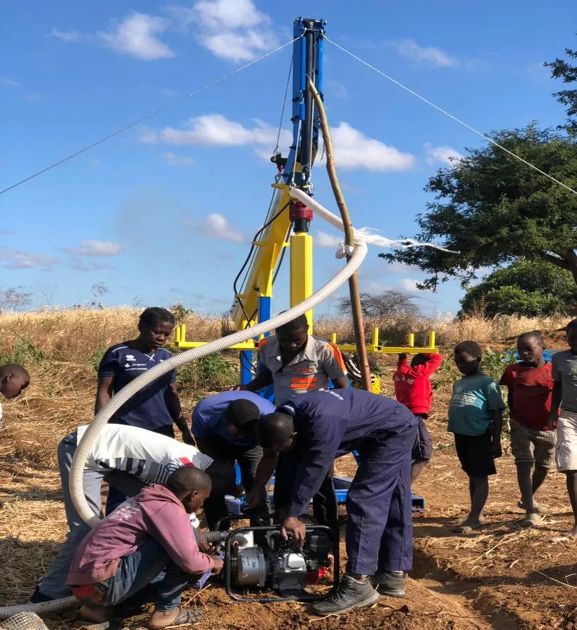
Bulding the Village Rig Drilling Crew
OWV uses light-moveable drilling rigs and a network of trained village drillers that are turning unserviciable isolated villages into new markets for safe water distribution in rural Malawi.
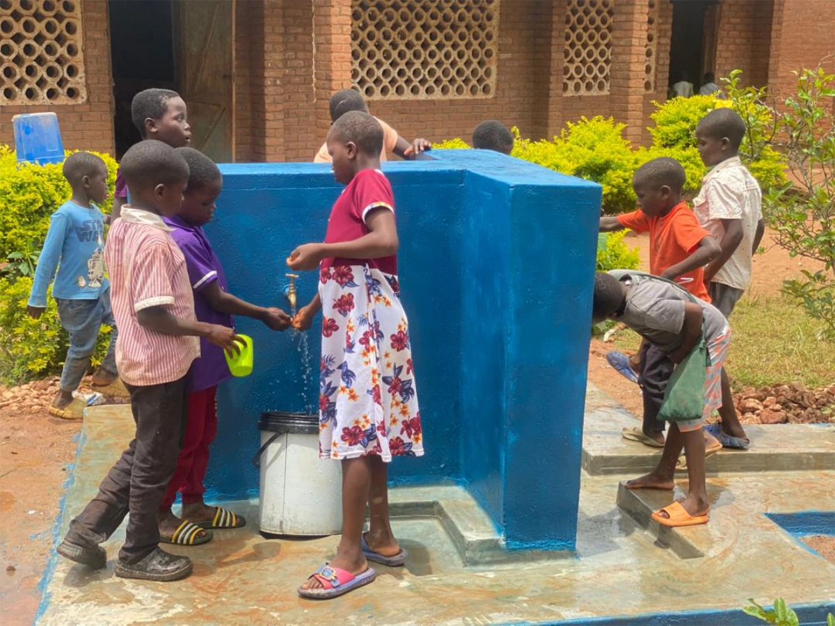
Creating Safe Water Infrastructures
We install long-lasting water points using light drilling rigs, bringing safe water closer to families and the routines that depend on it.

Building Capacities of Water Users
We work with families to build local leadership through Water User Associations, ensuring safe water systems are cared for and sustained.

Building Local Repair Service
OWV uses a business approach that train rural youths to become qualified WASH Artisans who provides repair services for WASH infrastuctures ensuring a long-term presence of repair services on demand and supply basis in isolated villages.
Ongoing Projects
Discover the places we’re working today and how safe water is changing daily life for families across rural Malawi.
Safe Water for Every School-Child
This project is creating and sustaining solar-powered water systems in isolated and forgotten primary schools in Nkhata-bay district
Todate, 340 school children have been reached with safe water, hygiene and sanitation education at Mkoloka Primary School in. T/A Kabundula
One Solar-Powered System
1 isolated and forgotten primary school
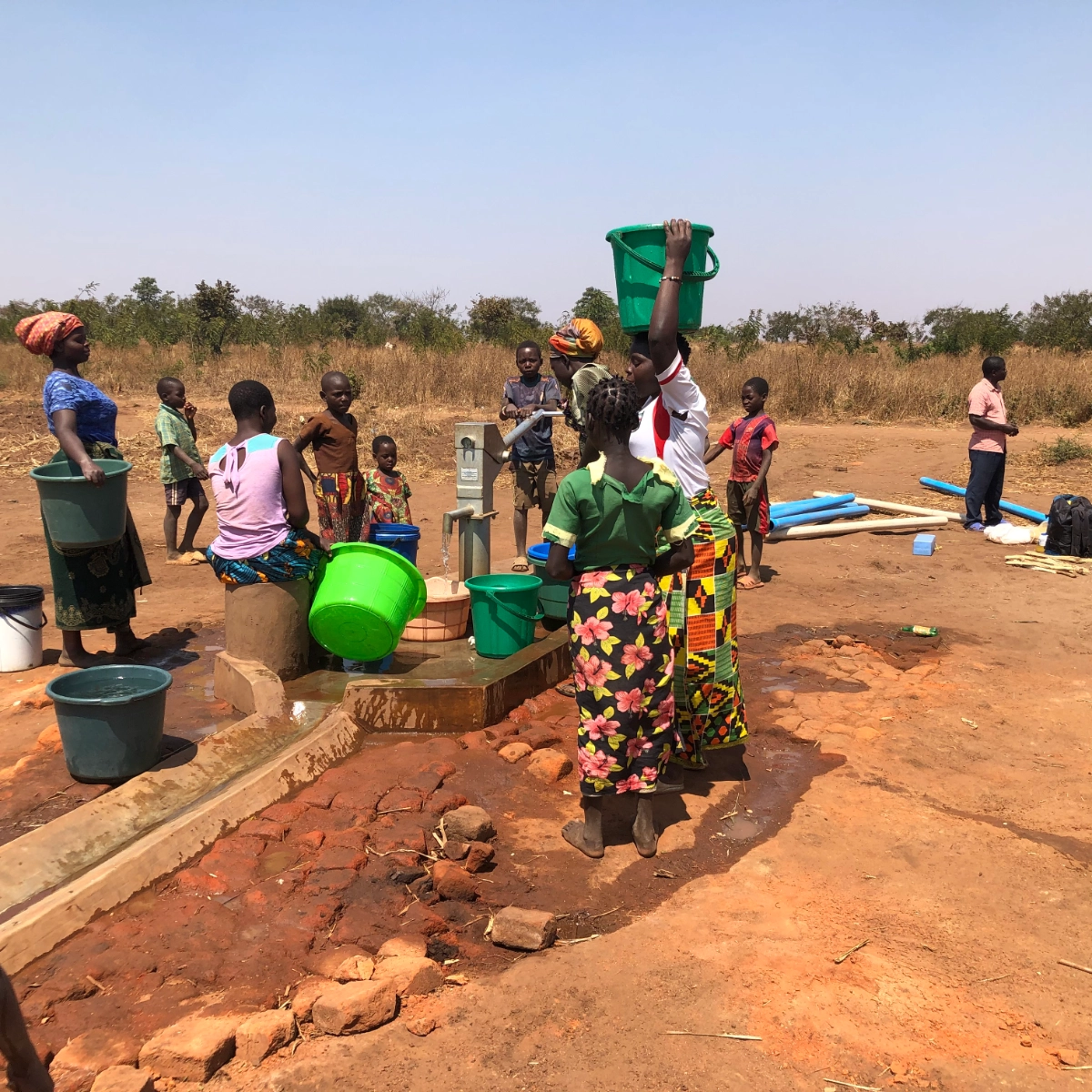
Safe Water For Isolated Villages in Rural Malawi
OVW has reached 25 isolated villages across 8 districts in Malawi from north, central and sourthern region.
12,500 people served
12 boreholes drilled
12 villages reached

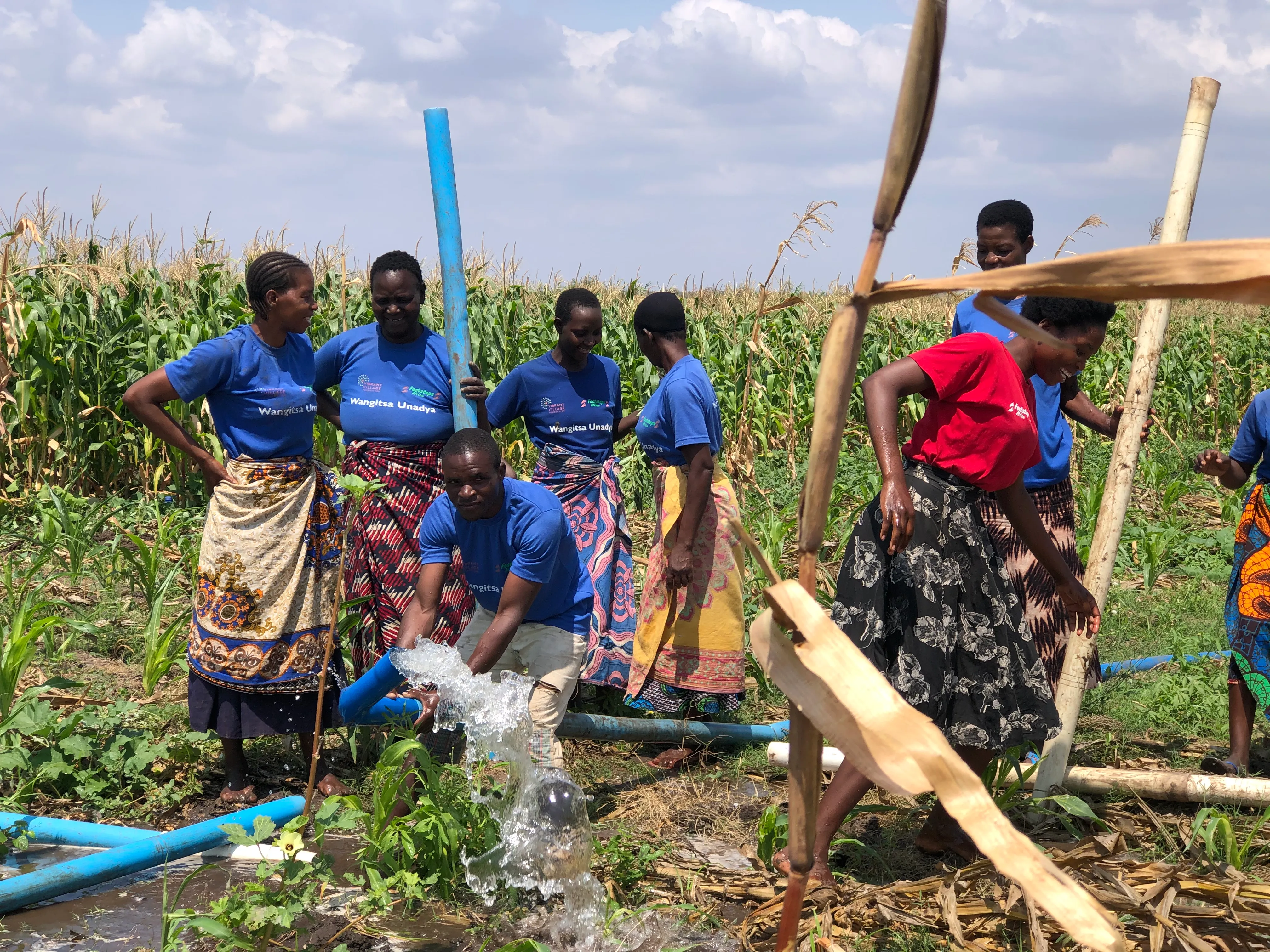
Safe water for climate adaptive irrigation farming
Protecting seasonal wetlands for climate adaptive resilient livelihoods
357 marginal farmers served
Wetland management
Irrigation water management and sharing